How can we model an entire city to better understand its energy, airflow, and heat dynamics? Urban data are abundant — buildings, roads, terrain, vegetation — but often inconsistent or incomplete. A new GIS–meshing pipeline now makes it possible to automatically generate watertight, simulation-ready city models, enabling realistic energy and microclimate simulations at the urban scale.
Urban energy/wind/heat modeling requires closed and consistent geometries, while the available data (buildings, roads, terrain, hydrography, vegetation) are heterogeneous and often non-watertight. The objective is therefore to reconstruct watertight urban meshes at LoD-0/1, interoperable and enriched with physical attributes and models.
A GIS–meshing pipeline has been developed to automate the generation of closed urban models. It integrates data ingestion via Mapbox, robust geometric operations using Ktirio-Geom (based on CGAL), as well as multi-layer booleans ensuring the topological closure of the scenes. Urban areas covering several square kilometers are thus converted into consistent solid LoD-1/2 models (buildings, roads, terrain, rivers, vegetation). The model preparation time is reduced from several weeks to a few minutes, with a significant gain in numerical stability.
The outputs are interoperable with the Urban Building Model (Ktirio-UBM) and compatible with energy and CFD solvers.
This development enables rapid access to realistic urban cases, usable for energy and microclimatic simulations, while promoting the sharing of datasets within the Hidalgo² Centre of Excellence ecosystem.
The next step is to publish reference datasets — watertight models and associated scripts — on the CKAN platform (n.hidalgo2.eu). These works open the way to coupling between CFD and energy simulation, and to the creation of tools dedicated to the study and reduction of urban heat islands.
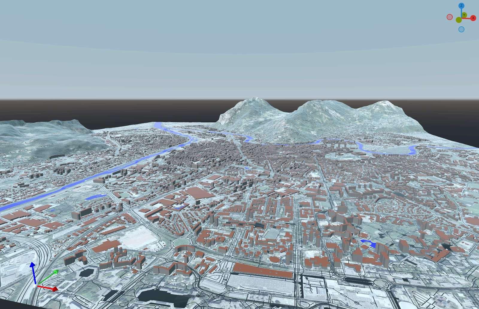
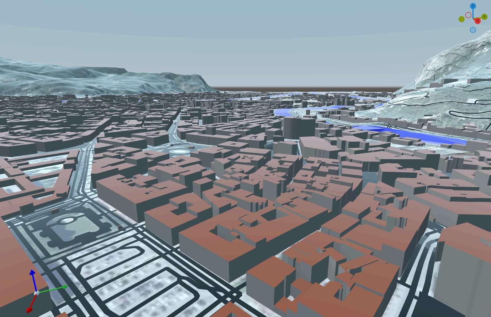
Figures: Reconstruction of the city of Grenoble within a 5 km radius, including the road network, rivers and bodies of water. Vegetation has not been included in order to reduce the size of the mesh, which here consists of approximately 6 million triangles — a figure that would at least double if vegetation were included.
© PEPR NumPEx
NumPEx Newsletter
Subscribe to our newsletter to stay informed on the latest breakthroughs in High-Performance Computing, Exascale research, and cutting-edge digital innovations.